
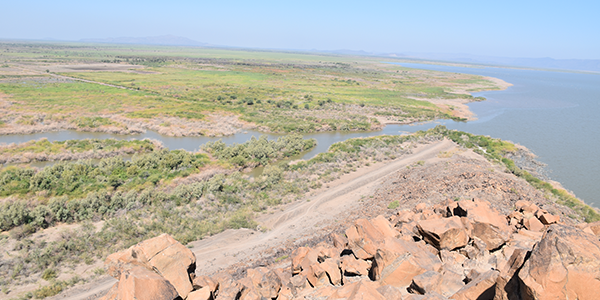
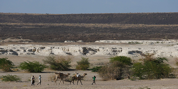

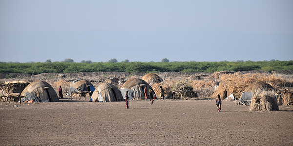

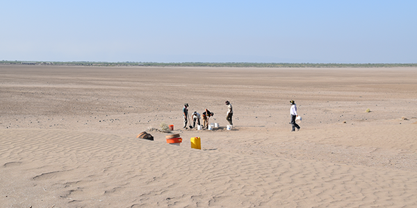

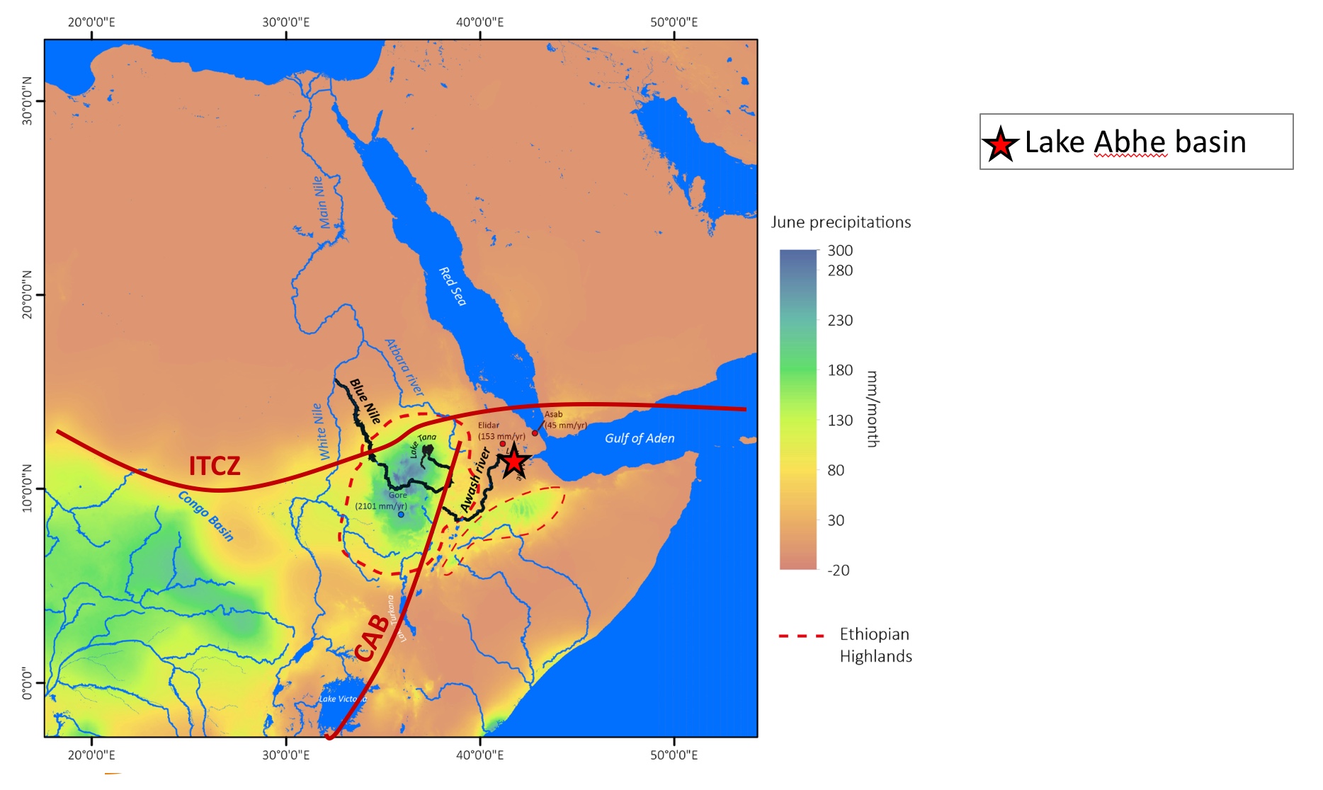
The Afar depression and Lake Abhe basin
The originality of our approach relies on the interactions of archaeologists, geomorphologists, modelers and paleoclimatologists, which will lead - for the first time - to a large-scale diachronic settlement model in the Afar region.
The Abhe Lake Basin is located in the Central Afar Region (Ethiopia & Djibouti) along the axis of the Tendaho-Gobaad graben (NE-SW). In this area, the tectonic in extension has induced tectonic depressions where sediment deposits have accumulated since the Miocene, transported mainly by flood waters of the Awash River descending from the Ethiopian high plateau to Lake Abhe. Thus, the Afar depression is chosen because i) sediments accumulated since ~4 Ma in these lakes are valuable archives to reconstruct hydrological changes in the tropical Sahel zone (~11°N latitude) as Françoise Gasse (Gasse, 1977) has demonstated in her research work, which began in 1977 around the Abhé basin ii) of the identification and excavation of a large number of LSA and Neolithic sites around these lakes
Image on the top from Mologni Carlo Phd (ref: CRU-TS 4.03 dataset (Harris et al., 2014) downscaled with WorldClim 2.1 (Fick and Himans 2017), PhD thesis of C. Mologni directed by M. Revel (Idex-UCA, codirected by L. Khalidi).
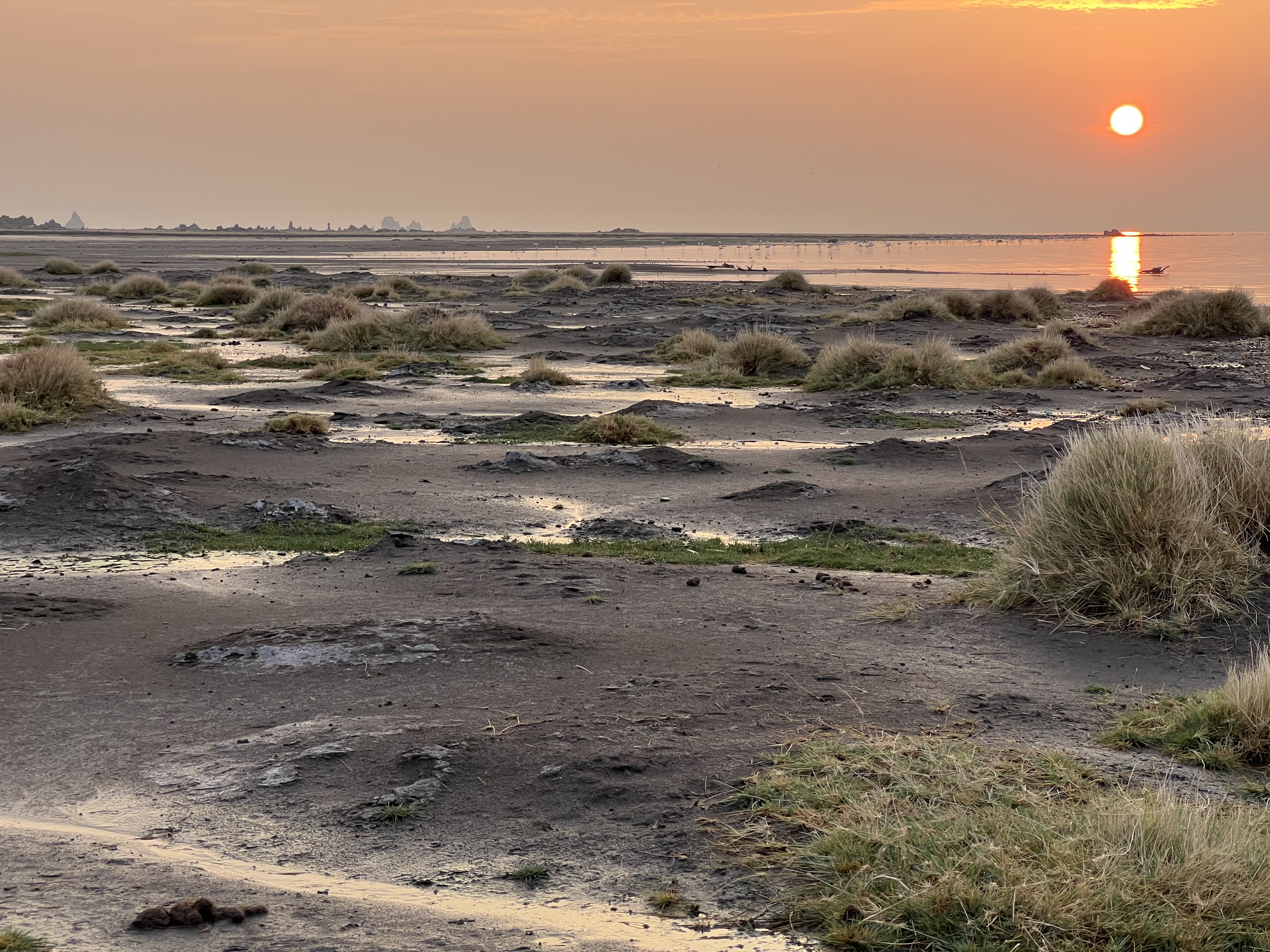
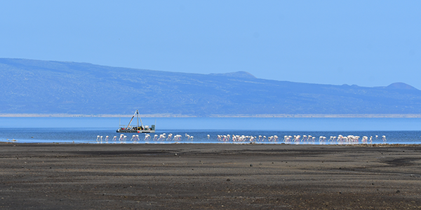
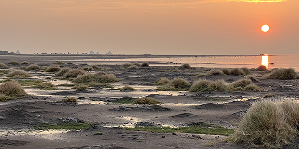
Image below: Abhe lake from the Gobaad. Credit: Eric Chaumillon